

For this church: |
|
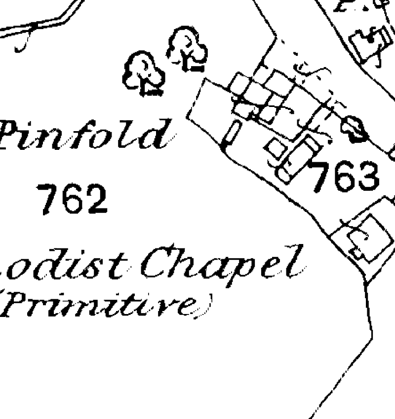
Map of 1884 |
Map of 1914 |
|
 |
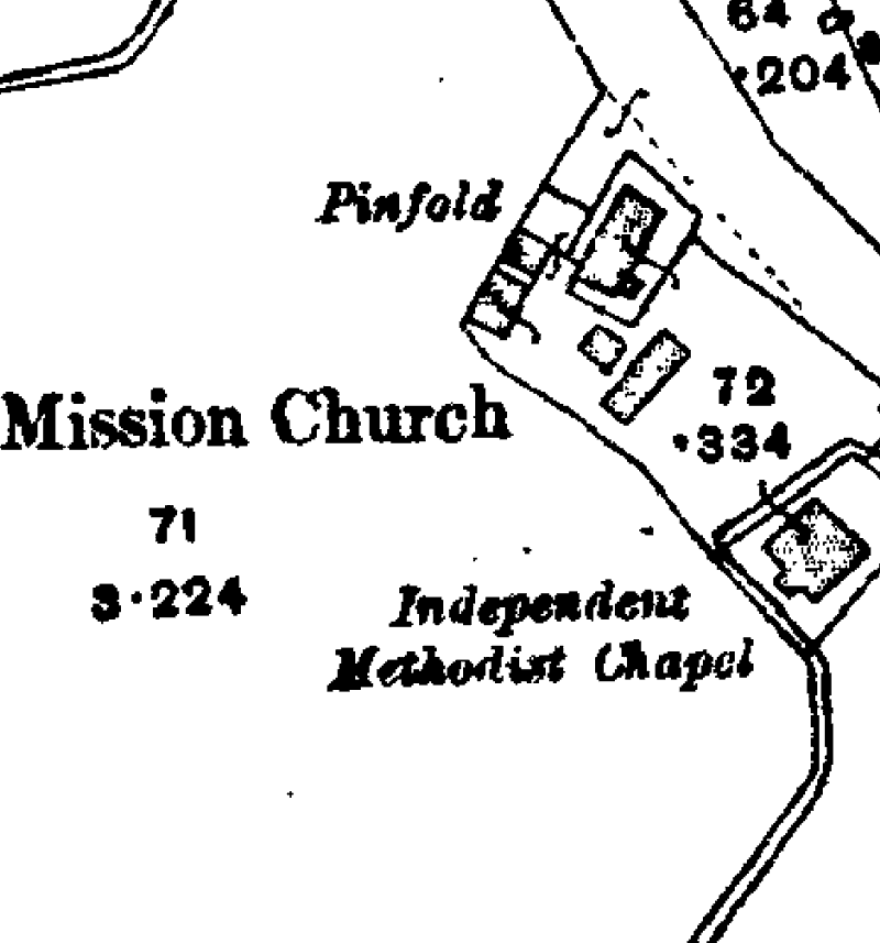 |
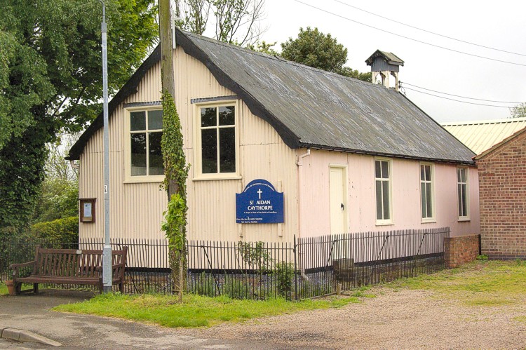
Other buildings, probably of an agricultural nature, are clearly shown on the site that the mission church now occupies.
![]()
Introduction | Location | History | Archaeology
Fittings | Glass | Organ | Bells | Clock | Monuments | War Memorial | Churchyard
References | Pictures | Plans | Listing Description | List of Incumbents
Project: Home | Index | About | People | What's new | Resources
![]()
 |  |  |  |