

For this church: |
Adbolton All HallowsLocationLocator MapsApproximate location of the former Church of All Hallows
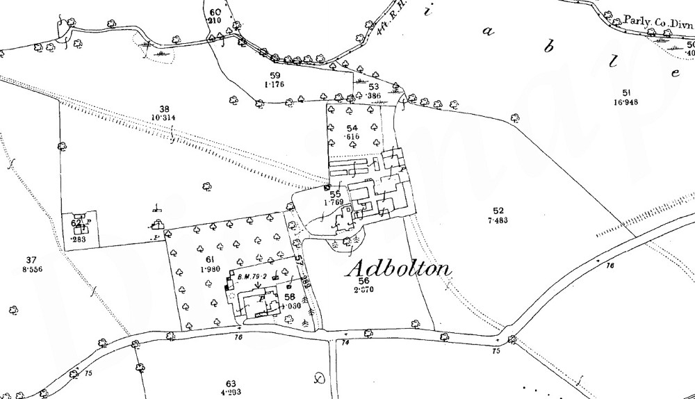
Map of the hamlet in 1884
|

![]()
History | Archaeology | Bells
References | List of Incumbents | Contacts
Project: Home | Index | About | People | What's new | Resources
![]()
 |  |  |  |