Gamston and Bridgford St LukeLocation
Locator Maps
|
|
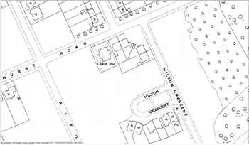
 Part of map of 1953, marking a “Church Hall” Part of map of 1953, marking a “Church Hall” |
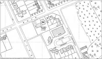
 Part of map 0f 1962, showing the then outline Part of map 0f 1962, showing the then outline |
Click one of the maps for a larger version
Maps from Edina, Historic Digimap © Crown Copyright and Landmark Information Group Limited (2012).
All rights reserved. |
|


