

For this church: |
Collingham All SaintsChurchyard
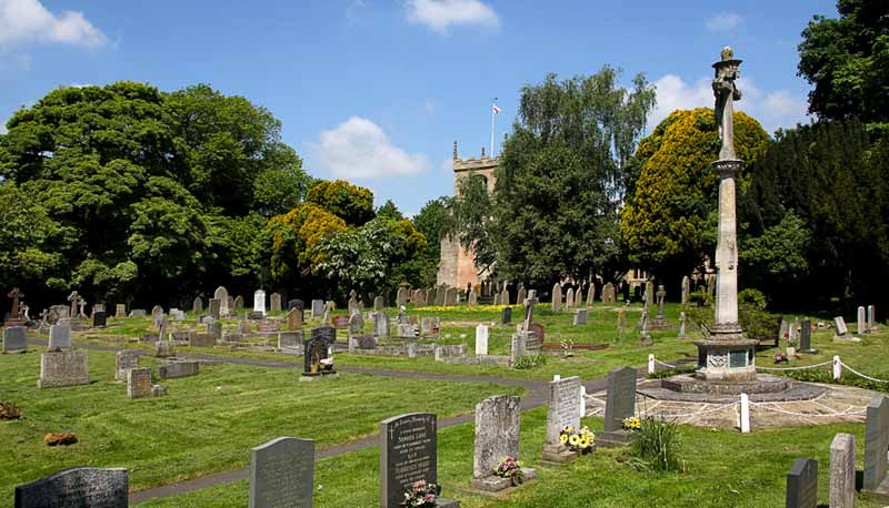
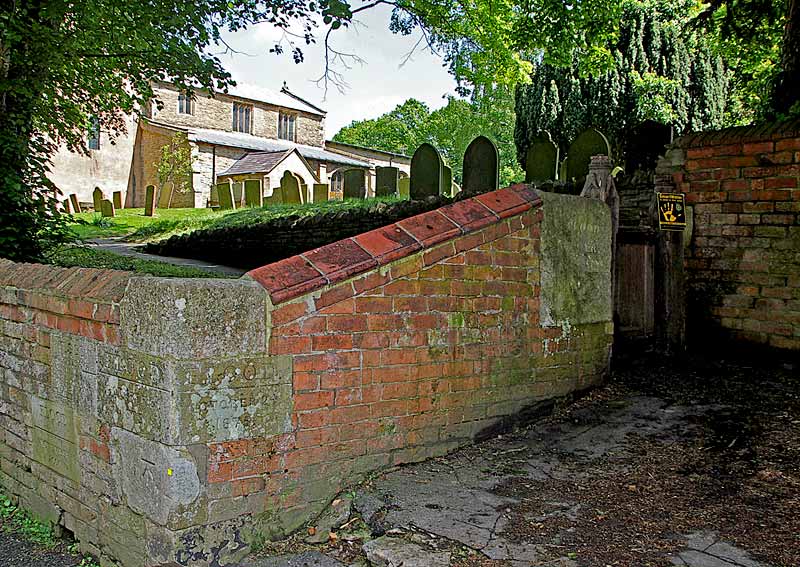
The churchyard is rectangular in shape, with an extension to the southern end. The church is positioned approximately centrally within the original churchyard. There are burials principally to the north and south sides as the boundaries are close to the east and west ends of the church. Stone and brick walls bound the old churchyard. The 18th century boundary wall with brick coping is some 100 metres long the large stone by the south-west gate which bears the flood level inscription of 1795 is the base of the old church-yard cross – the socket for the shaft can still be seen (Wake). The February 1795 flood was caused by a rapid thaw after a long and severe frost, other floodmarks (1873, 1873 & 1917) are at the corner of the wall a few metres away. Although there is no guarantee that these, especially the stone adjacent to the gate, have not been moved since being ‘flood marked’. The registers begin in 1558 and record the burial of 32 plague victims between 11th August and 23rd December 1646, it would seem that these burials may have been speedy as the names of several of the victims are not recorded. In 1646 Richard Thornton, labourer was killed with the fall of stone at the pulling down of Newark Castle being buried on 1 July. In 1916 the churchyard was extended to White Hart Lane with the purchase of 2,800 square yards of land and buildings adjacent to the existing cemetery. This was purchased for £400 at Auction by George Sheldon as Agent for the Parish. This land was consecrated by the Bishop of Southwell in August 1917. |
![]()
Introduction | Location | History | Archaeology
Fittings | Glass | Organ | Bells | Clock | Stonework | Monuments | War Memorial | Churchyard
References | Pictures | Plans | Listing Description | List of Incumbents | Parish page
Project: Home | Index | About | People | What's new | Resources
![]()
 |  |  |  |