

For this church: |
Toton St PeterChurchyard
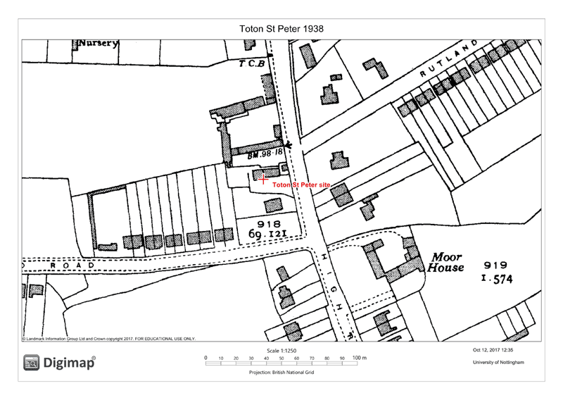
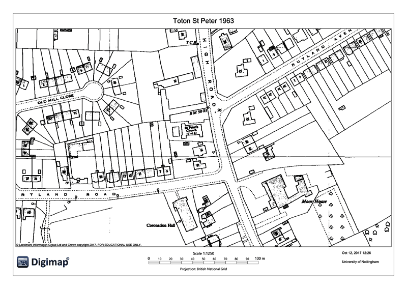
There is no formally defined area of churchyard as such. However, the plot on which the building sits is broadly the same as indicated in 1938 mapping. It is an irregular trapezoid with an area of approximately 160 square metres at the east side paved and dedicated to car parking. The boundary to the east is open to the road and on all other sides it comprises wooden fences. There are no burials. | ||||
![]()
Introduction | Location | History | Archaeology
Fittings | Glass | Organ | Bells | Clock | Stonework | Monuments | War Memorial | Churchyard
References | Pictures | Plans | Listing Description | List of Incumbents | Parish page
Project: Home | Index | About | People | What's new | Resources
![]()
 |  |  |  |