

For this church: |
Egmanton Our Lady of EgmantonChurchyard
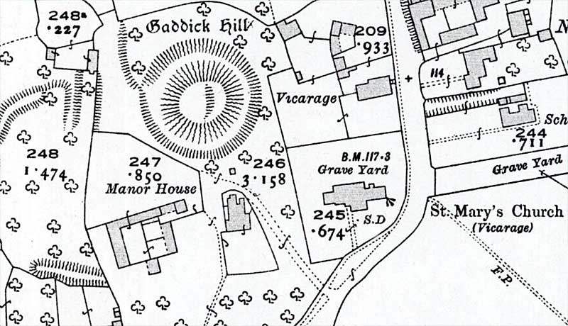
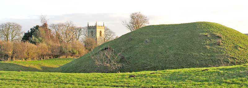
The churchyard surrounds the church on all sides and covers an area of 0.3 hectares (0.7 acres). The churchyard is irregular in shape; to the north and west are straight boundaries with the adjoining properties, but to the east and south the boundaries follow a curving line along the road. The church is positioned towards the south with burials on all sides. To the north-west is a motte-and-bailey castle probably of 11th century date and it is entirely possible that the churchyard occupies part of the outer bailey of this castle. A Grade II listed late 17th century sundial is situated to the south of the south transept. The inscription on its base reads: 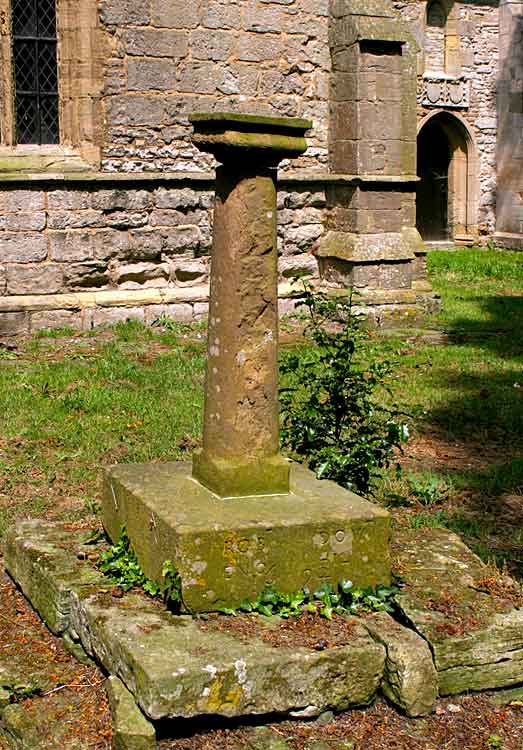
The World War I war memorial is also located in the churchyard, near the east window. | |||||||||||||||
![]()
Introduction | Location | History | Archaeology | Contacts
Fittings | Glass | Organ | Bells | Clock | Monuments | War Memorial | Churchyard
References | Pictures | Listing Description | List of Incumbents
Project: Home | Index | About | People | What's new | Resources
![]()
 |  |  |  |