

For this church: |
Nottingham St CatharineLocationLocator Maps
Detail maps
|

 |
 |
|
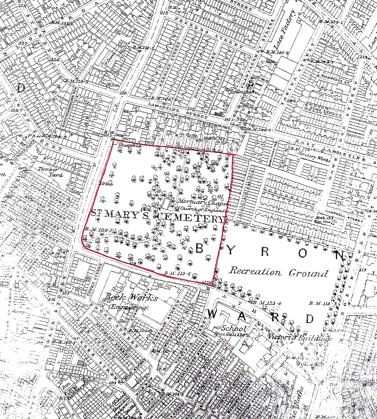
From Ordnance Survery map of 1881,
showing the burial ground where the church was to be built Click for larger image |
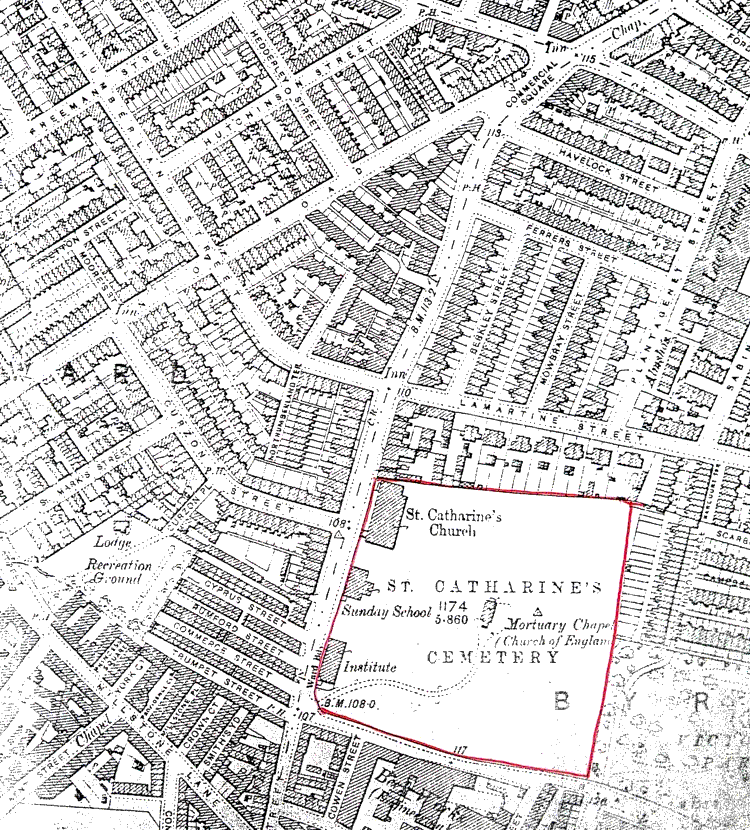
From Ordnance Survey map of 1901, showing
the church and accompanying buildings and churchyard Click for larger image |
![]()
Introduction | Location | History | Archaeology
Fittings | Glass | Organ | Bells | Clock | Stonework | Monuments | War Memorial | Churchyard
References | Pictures | Plans | Listing Description | List of Incumbents
Project: Home | Index | About | People | What's new | Resources
![]()
 |  |  |  |