

For this church: |
Winkburn St John of JerusalemChurchyard
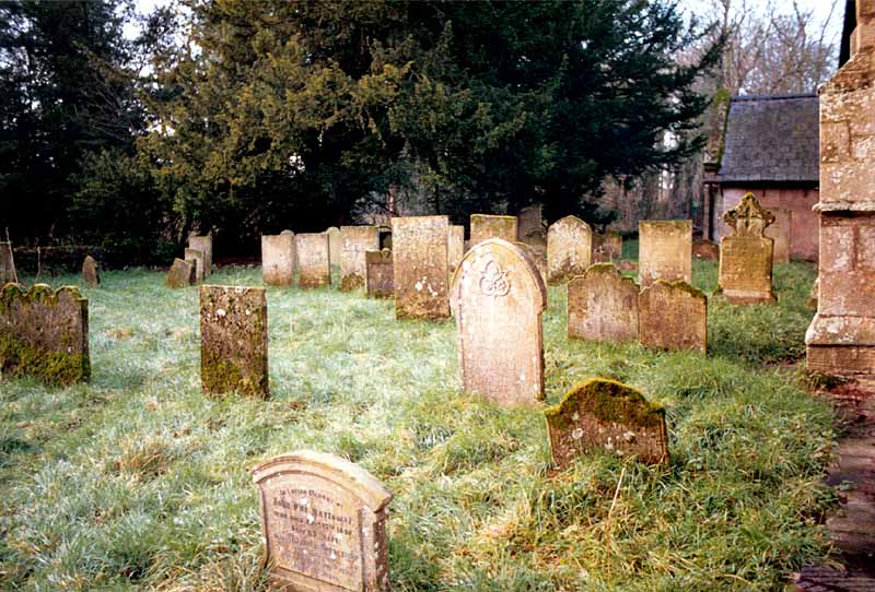
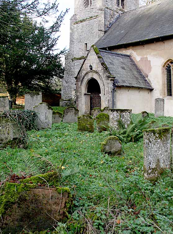
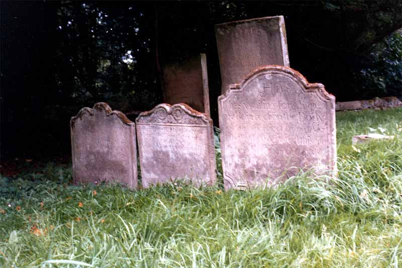
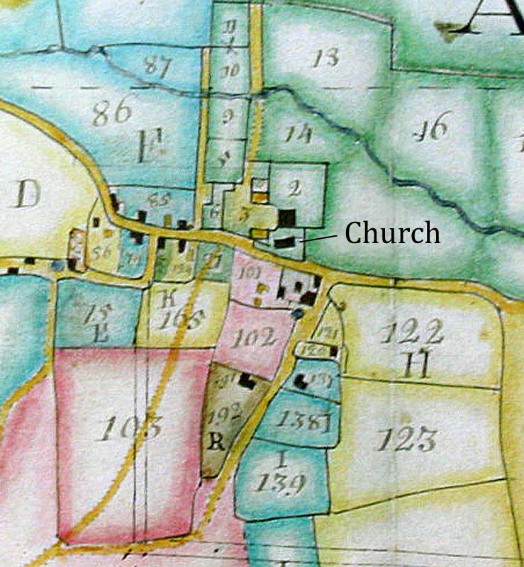
The churchyard covers an area of 0.1 ha. The church occupies the north section of the churchyard. There are burials on the south and east of the church. The earliest grave markers are to be found close to the porch on the south side and date from the early 18th century. Brick and stone walls define the boundaries on the west, east and south sides. The churchyard to the north is extremely narrow, lying between the outbuildings of the hall and the church (no burials) but there is a north chancel doorway that once probably provided private access into the church for the family in the hall. The medieval church may have been physically linked to the hall's predecessor. The entrance to the churchyard is on the south-west.
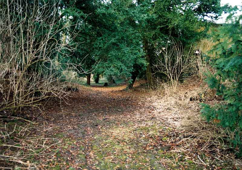
A hollow way, marking the line of a former village road, runs alongside the south wall of the churchyard. The area to the south of the church contained several farms and cottages until the mid-19th century when the buildings were cleared in order to enlarge the park and afford a greater degree of privacy to Winkburn Hall. A small detached churchyard extension (0.03 ha), located to the south-west of the church, was opened in November 1937. The land was donated by John Todd who purchased Winkburn Hall and estate in 1933. |
![]()
Introduction | Location | History | Archaeology
Fittings | Glass | Organ | Bells | Clock | Stonework | Monuments | War Memorial | Churchyard
References | Pictures | Plans | Listing Description | List of Incumbents | Parish page
Project: Home | Index | About | People | What's new | Resources
![]()
 |  |  |  |