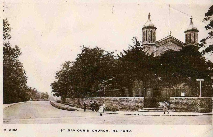
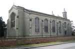
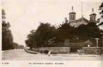
 Retford Retford
St Saviour
Churchyard
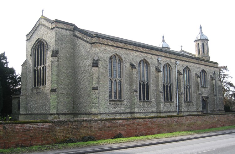
The land upon which St Saviour’s is built is basically rectangular,
with Lidget Lane on the western edge and the A620 Welham Road on the northern
edge. Its dimensions are approximately 213' by 180'.
In the south west corner the original St Saviour’s School was built,
with additional classrooms and head teacher’s house being added later.
The original school and two of the additional classrooms eventually became
church property and the whole is used as a Parish Hall / Community Centre,
with lettings to individuals and organisations, in addition to church use.
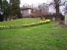 The Garden of The Garden of
Remembrance in Spring |
A faculty dated 26th October 1971 allowed the Church Council to develop
the area of churchyard adjacent to the east side of the Parish Hall as a car
park with the earth removed from this area being used to form
a Garden of Rest for cremated remains within the churchyard. Grave
markers from graves in the area to be used for the car park were preserved
and used (face down) to form the approach pathway to the burial mound, and
for the path (in the form of a cross) on the mound itself. The perimeter
of the mound was edged with grave kerb stones removed from the car park area,
and the mound grassed over. Inside the church is a book listing the names
and date of death of those whose ashes are buried in the mound, with a map
showing the approximate location of each burial.
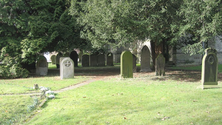
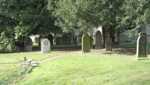 Graves
in the Graves
in the
churchyard |
An asphalt path runs east/west through the churchyard, giving access to the
original vicarage (now a private house).
The burial ground covers about ⅔ of the total area of church land,
and is generally grass covered, with grave markers of various dates spaced
unevenly throughout the area. There are some tall trees,
particularly along part of the southern edges other parts have several yew
and indigenous deciduous species. Other quite large areas are treeless, particularly
on the north side and south-west corner.
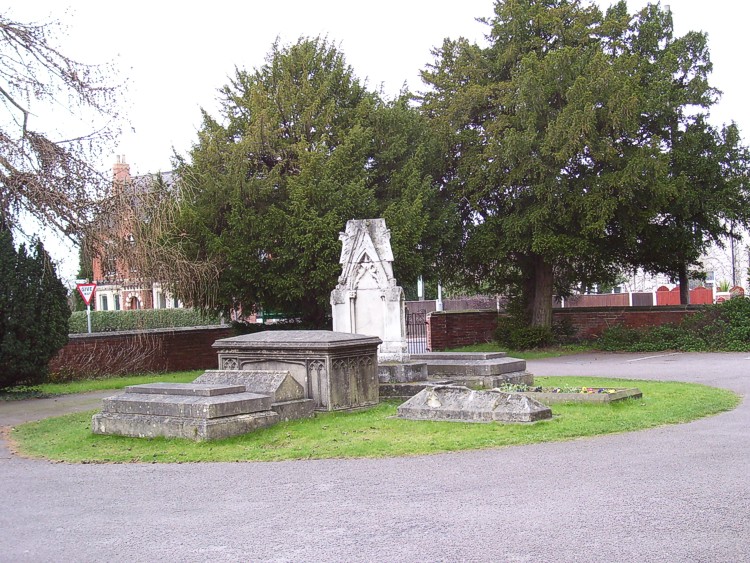
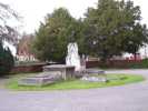 Graves
near the Graves
near the
west end |
The circular area adjacent to the
west end of the church has the graves of Henry Clark Hutchinson (who gave the
land and some of the money to build the church and school) and several
of his relatives. These latter grave markers have suffered badly from erosion
and vandalism.
 Before
the railings Before
the railings
were removed |
The churchyard is bounded on the north and west sides by low brick walls,
which were built several years after the church. The walls are about a metre
high, the brickwork is surmounted by a stone coping, which originally had iron
railings. These have been removed, presumably during the Second World War.
During
the late spring and summer months the grass is cut regularly which gives an
attractive ‘cared for’ look about the area. The grave markers
are checked for stability on a regular basis.
|