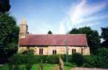
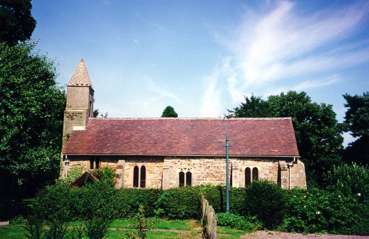
 Stanton on the Wolds Stanton on the Wolds
All Saints
Churchyard
The churchyard surrounds the church and an old hawthorn hedge is on the same
boundary as in 1763 when Sir Mark Parsons had maps drawn of his lands at Stanton.
To the south west is part of the garden of the single house, which has been
formed from the former adjoining Rectory and Glebe Farm. Formerly the farmyard
was on this site. To the north west there is a path through woodland, on the
site of the Town Street of the medieval village, running towards the Manor
House.
On the south side, the Yard Close, a field, which was sold off by the church
in 1932, has been bought back. A right of way by foot across the field to the
church was retained. The eastern part of the field remains as grazing land,
whilst a car park has been made between it and the footpath across the western
part. Here, there is a small area of grass, now called The Green,
which has been consecrated as an extension to the churchyard, for re-siting
the war memorial to commemorate the Millennium.
The churchyard is bounded on the north and east by the golf course belonging
to Stanton on the Wolds Golf Club.
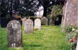
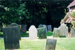
Either side the front path to the church there is a group of old slate headstones,
each elaborately inscribed and decorated. Many of them belong to the Page family
who farmed at Stanton. These two groups of headstones are listed.
In the north part of the churchyard are headstones of former rectors:
Thomas Smith,
Benjamin Milnes,
Cyril George Smith.
Although recorded by Godfrey, the earlier plain stone of Warcup Putsey cannot
be found in the north part of the churchyard. To the side of the headstone
of the Rev Thomas Smith and his wife, Sarah, is the headstone of a married
daughter, Sarah Ann Fletcher, who died 24 April 1873, aged 29. The parish register
records that she was living in Nottingham and was buried on 29 April 1873 with
her day-old daughter, Sarah Ann Smith Fletcher.
 Churchyard
to the north Churchyard
to the north
of the church |
 Churchyard
to the south Churchyard
to the south
of the church |
| 

 Churchyard
to the north
Churchyard
to the north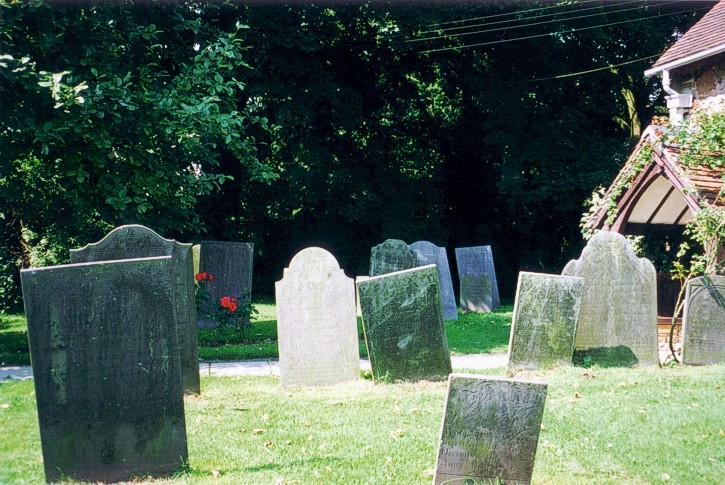 Churchyard
to the south
Churchyard
to the south


