

For this church: |
Bulwell St MaryArchaeology
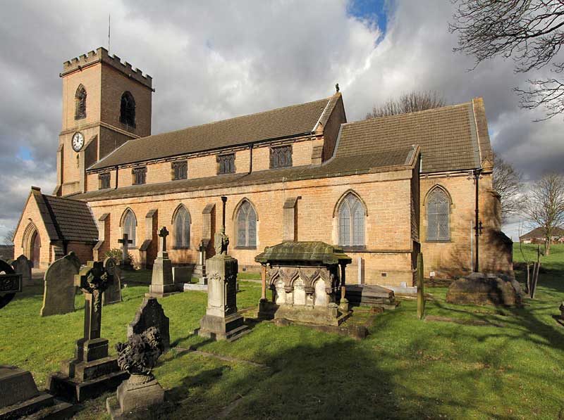
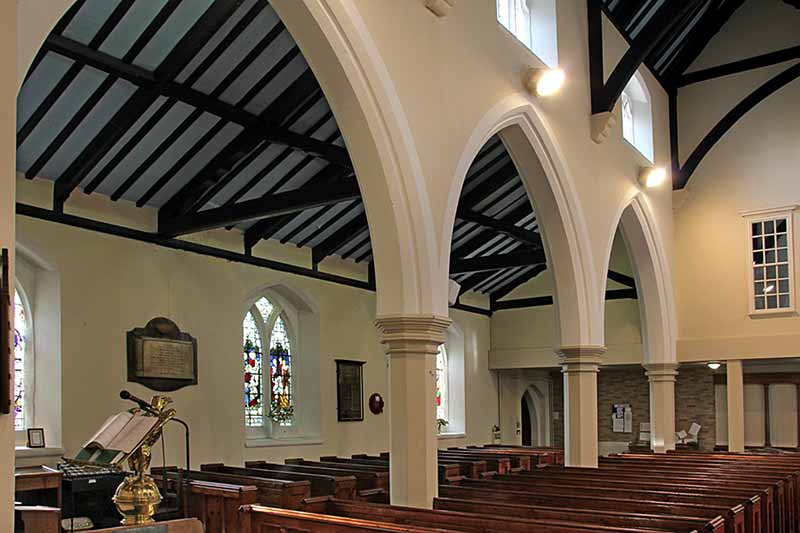
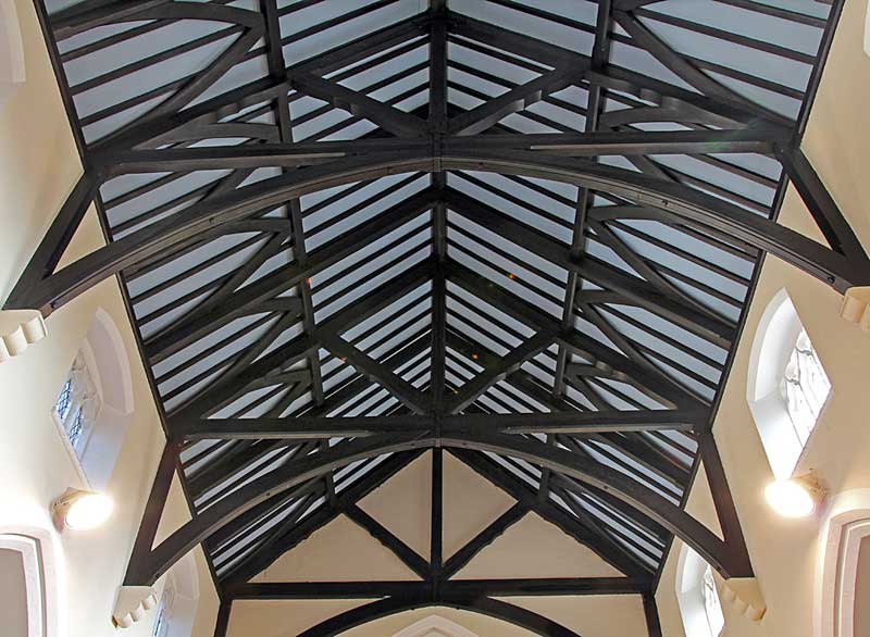
The church was built 1849-50 in the Gothic Revival style and comprises chancel with an organ chamber (added in 1899) to the south and vestry to the north, a clerestoried nave with north and south aisles and south porch, and embattled west tower. An organ chamber was added to the east end of the south aisle in 1899. The nave arcades have double chamfered arches and octagonal piers. The westernmost two bays of the nave are now occupied by the West Room and Upper Hall (created in 1978 to provide meeting rooms) together with a kitchen, toilets and facilities for the disabled. Technical SummaryTimbers and roofs
BellframeAll metal frame, Pickford Group 8.2.A 1990 by Fred Pembleton. Not scheduled for preservation Grade 5. Walls
Excavations and potential for survival of below-ground archaeologyThere have been no known archaeological excavations.
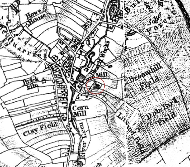
The fabric of the entire building dates to a rebuilding of 1849-50, various other additions and alterations were made in 1978 to the interior west end. There was a medieval church here but its exact location is unclear though popular opinion is that is lay to the north-west side of the present building, part evidenced during grave digging and various works to the churchyard, but not formally recorded. The Sanderson map of 1835 shows a church in approximately the same position as the present building with a west tower and nave. The ground on the north side rises markedly from the church and has shallow earthworks of undetermined form. A C20th ramp has been constructed to allow access for the disabled from the churchyard to the north doorway of the 1978 west end remodeling. The churchyard is rectangular with the church positioned at the south-west corner. There are burials on all sides and a hard-standing car-park to the north-west. The overall potential for the survival of below-ground archaeology in the churchyard is considered to be HIGH-VERY HIGH comprising potential evidence for the medieval church, rebuilding evidence from the C19th, burials, and landscaping features. Below the present interior floors of the church it is considered to be MODERATE comprising mainly stratigraphy from the 1849-50 construction though possibly with medieval deposits at depth. The archaeology of the upstanding fabric in the body of the church is of a single period, 1849-50, and its archaeological potential as representative of this date is HIGH. Exterior: Burial numbers expected to be average with possible evidence of the medieval church in the churchyard. Interior: Stratigraphy may potentially have medieval material at depth, though it is expected to be mainly C19th rebuilding evidence. |
![]()
Introduction | Location | History | Archaeology
Fittings | Glass | Organ | Bells | Clock | Stonework | Monuments | War Memorial | Churchyard
References | Pictures | Plans | Listing Description | List of Incumbents | Parish page
Project: Home | Index | About | People | What's new | Resources
![]()
 |  |  |  |