

For this church: |
Nottingham St SaviourChurchyard
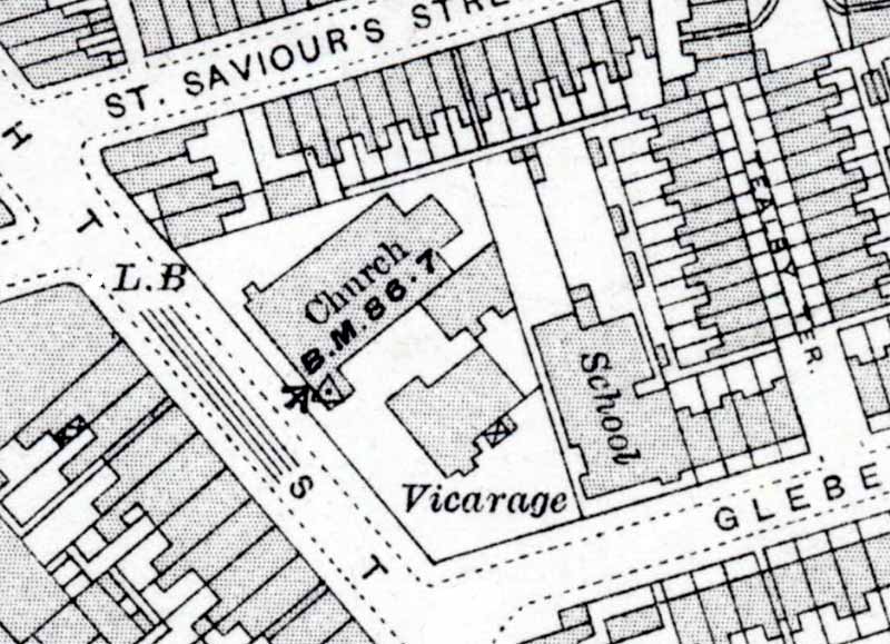
St. Saviour’s has a small area of land between the west wall and the street, originally Arkwright Street, a main thoroughfare connecting the city with the bridge over the River Trent. Redevelopment of the area in the 1970s included moving the traffic to the new outer roads and the downgrading of the street to a leafy pedestrian way renamed Arkwright Walk. The original boundary wall once topped by iron railings still stands but has been rebuilt in modern brick. On the north side there is a similar wall forming the boundary between the churchyard and the street, once called St. Saviour’s Street, now designated St Saviour’s Gardens. The area land between the north wall of the church and the boundary wall has recently been cultivated and a number of saplings planted close to the wall. A path leads from the north-west entrance door across this land to the east end of the church. The land to the east end of St. Saviour’s is the largest area of the churchyard; it is now roughly surfaced and serves as a car park. The entrance to the Parish Office is also accessed from this land. On the south side of the church there is only a narrow strip of access land with a brick wall forming the divide between the church and the vicarage. It is unlikely that any burials ever took place on this site, but an original drawing of the proposed church in 1862 shows a much more extensive frontage with trees was considered. It is possible that the churchyard at the west end of the church was reduced when the area was redeveloped in the 1970s.
|
![]()
Introduction | Location | History | Archaeology
Fittings | Glass | Organ | Bells | Clock | Stonework | Monuments | War Memorial | Churchyard
References | Pictures | Plans | Listing Description | List of Incumbents | Parish page
Project: Home | Index | About | People | What's new | Resources
![]()
 |  |  |  |