

For this church: |
| |||||||||

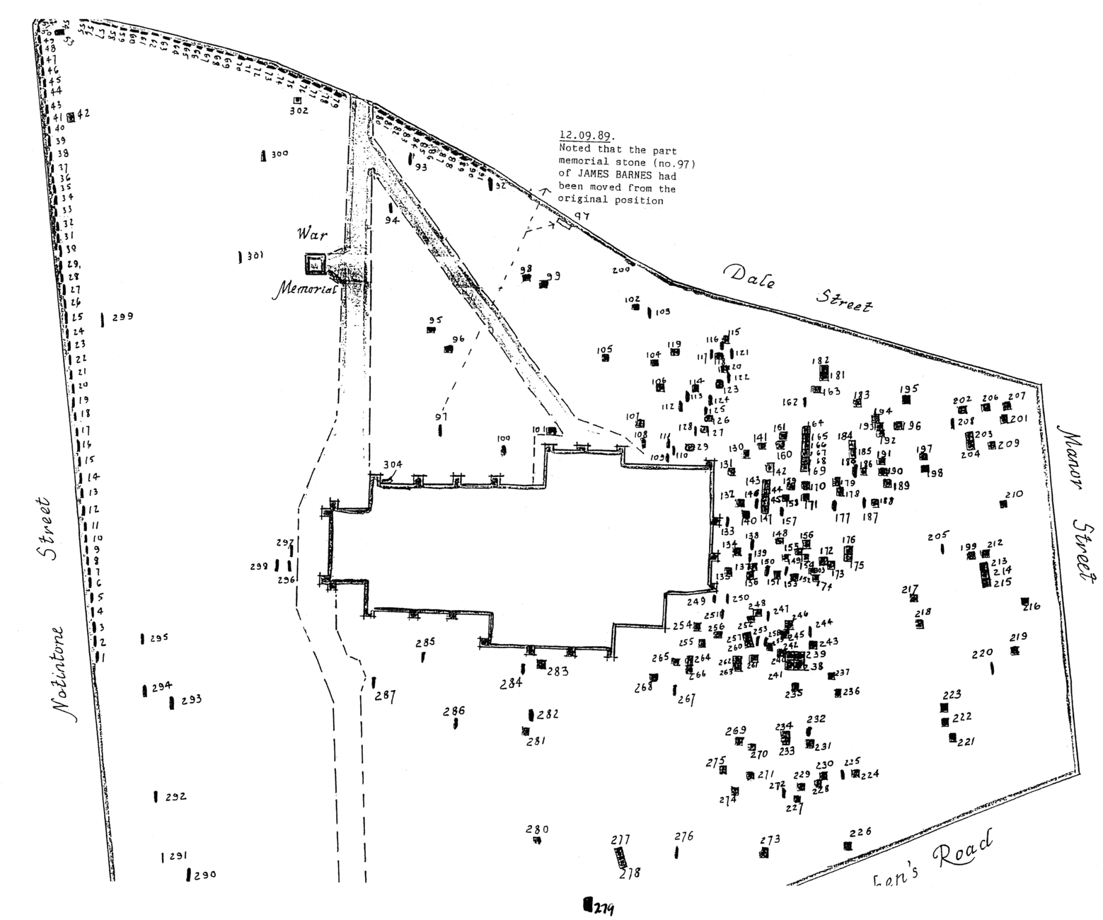 Plan
of the churchyard Plan
of the churchyardproduced in 1987 by Family First Trust |
In 1987 The Family First Trust, working as part of the Manpower Services Commission’s Community Programme, conducted a survey of the headstones and memorials. At that time 301 records were listed. Many of the stones had already been re-sited to rest against the west and north boundary walls. The plan they produced shows 14 marked graves on the west side of the main pathway. In 2004 only 10 of these 14 remain in place. The oldest memorial recorded in 1987 was dated 1756, most of the inscriptions are from the 19th century. Truman (1946) recorded the details of a stone near the east end of the church dated July 1656 in memory of John Kirkbee.
During a German air raid on the night of May 9th 1941 two bombs landed in the churchyard. One penetrated the ground just inside the west boundary wall to a depth of 12 feet, but did not detonate so it had to be removed. The other fell and exploded near the south wall of the church damaging the windows and starting a fire on the transept roof.
A small Garden of Remembrance has been created near the north door, for the internment of cremated remains. Flat memorial stones can also be placed there. On the wall adjacent this site a plaque has been fixed recording the names of those remembered.
Notable burials and memorials:
In the non-conformist section of the churchyards northeast corner:
George Green, Mathematician and local miller, Died 1841
Several of his family are also buried nearby.
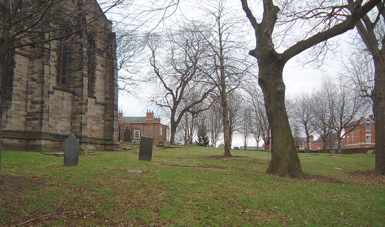
| Some views across the Churchyard | |||
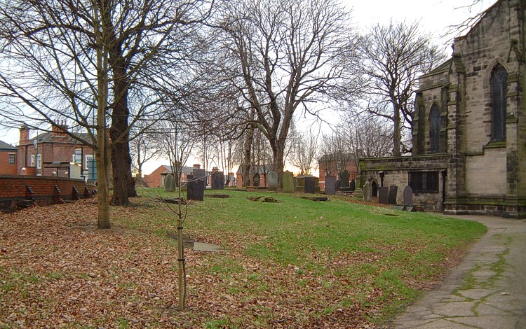 The
northern part, The
northern part,looking east |
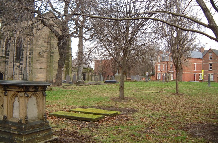
The eastern section, |
 The
southern part, The
southern part,looking west |
 The
southern part, The
southern part,looking east |
![]()
Introduction | Location | History | Archaeology | Contacts
Fittings | Glass | Organ | Bells | Clock | Stonework | Monuments | War Memorial | Churchyard
References | Pictures | Plans | Listing Description | List of Incumbents
Project: Home | Index | About | People | What's new | Resources
![]()
 |  |  |  |