

For this church: |
Tollerton St PeterChurchyard
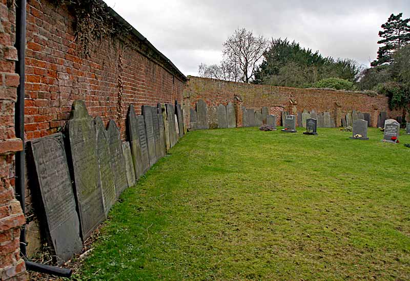
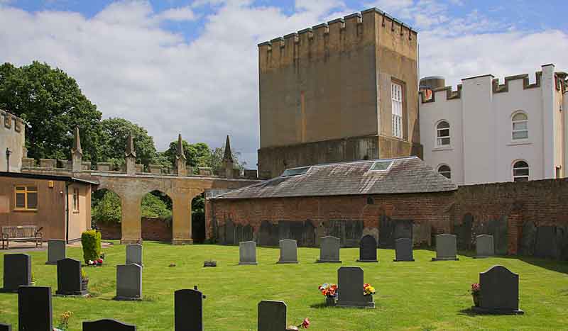
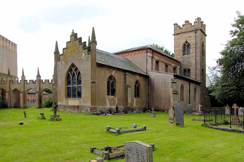
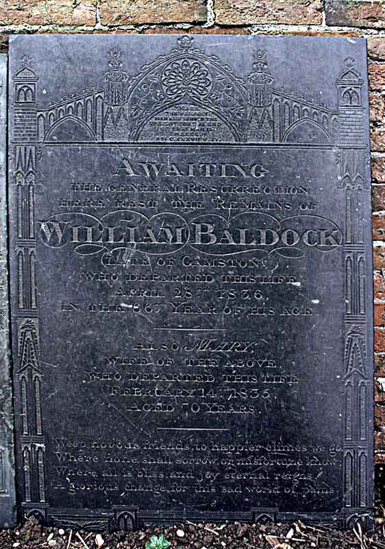
The churchyard is roughly rectangular with the church positioned, slightly offset to the west, in the centre. It covers an area of approximately 0.2 hectares. Brick walls mark the boundaries on the north, east and south sides of the churchyard. The former rectory is on the west side of the church. There are burials on the north, east and south sides of the church. The present burial area is in the south section. A number of fine slate gravestones are lined around the walls of this area. The ‘Garden of Rest’ for cremations is close underneath the walls on the north and south sides. The war graves of parishioners killed in the two world wars are on the north side of the church and these are maintained by the Commonwealth War Graves Commission. An embattled five-bay arcaded wall links the hall (on the south-east) to the church. In the past this provided the hall’s residents with a direct link to the church. The door to the hall is no longer used. In the early 19th century the relationship between the rector, the Rev Pendock Neale, and the landowner (and relative), Pendock Neale (later Barry) deteriorated and the latter made various encroachments on the churchyard. At one point the landowner 'enlarged his servants hall out of the churchyard, and in progress of his work exposed some coffins or bones, which greatly vexed the rector.' A dispute over the eastern boundary of the churchyard led the landowner to erect a high brick wall which was probably built on consecrated ground and was given the name the 'Dubious Wall.' The wall still exists but was lowered in the 1970s. |
![]()
Introduction | Location | History | Archaeology
Fittings | Glass | Organ | Bells | Clock | Stonework | Monuments | War Memorial | Churchyard
References | Pictures | Plans | Listing Description | List of Incumbents | Parish page
Project: Home | Index | About | People | What's new | Resources
![]()
 |  |  |  |